
INVOLTOR - CARBON AGRICULTURE
About us
1. Operational excellence through the professional level of the team and the available technical capabilities, described below;
2. Integrity and social, climate, biodiversity impact brought by the 9 SDGs (Sustainable Development Goals – in the original) as well as the certification of the project according to the CCB standard (Climate, Community & Biodiversity – in the original);
3. Accountability: We will expand our services to responsible and high-integrity partners to support the building of a high-impact global carbon market.
We have the necessary capabilities and infrastructure and we deliver excellence.
Wrapper
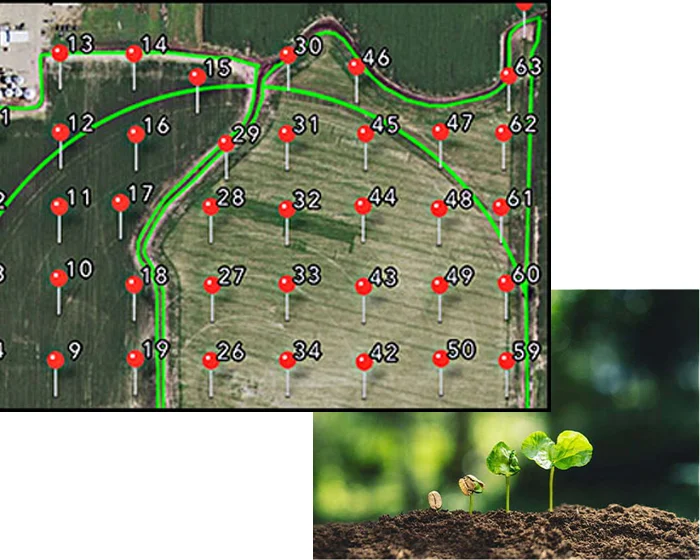
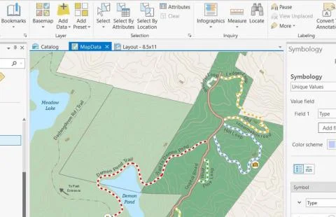
Visual sampling plan
The spatial delimitation of the sample population, the sampling plan, the measurements and statistical analysis, the monitoring plan are managed by specialized software recognized by the global scientific community.
- Project-based sampling.
- Model-based sampling.
- Adaptive sampling.
- Optimal sampling and fairing.
These are some of the types of spatial sampling techniques.
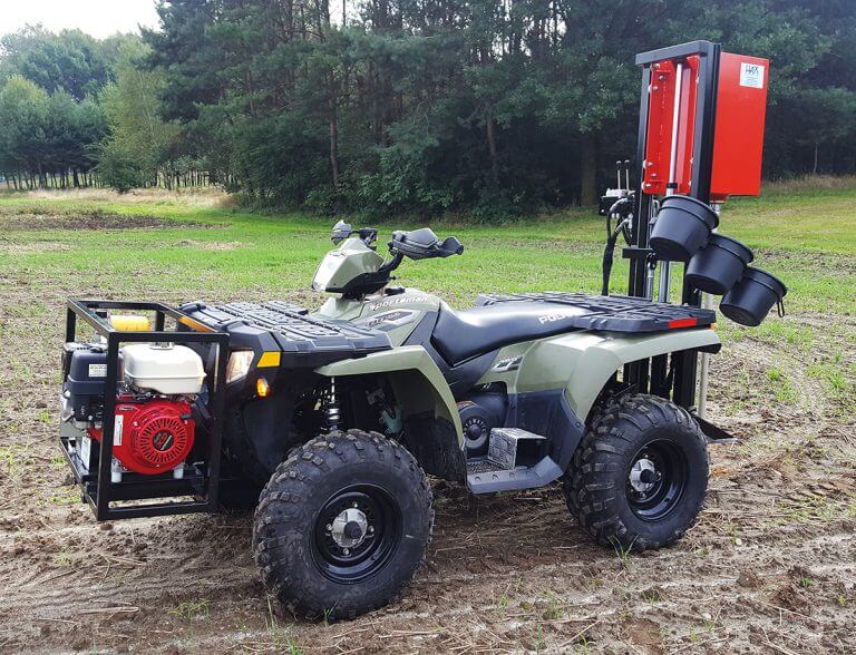
Soil – the world's largest carbon sink over which we have control
Soil sample collection is done following the principles of FAO (The Food and Agriculture Organization) ISO 11272:2017; ISO 18400-104:2018; The equipment used ensures the quality of the process and guarantees the accuracy of results, analyses, and locations at the 6 decimal degree level.
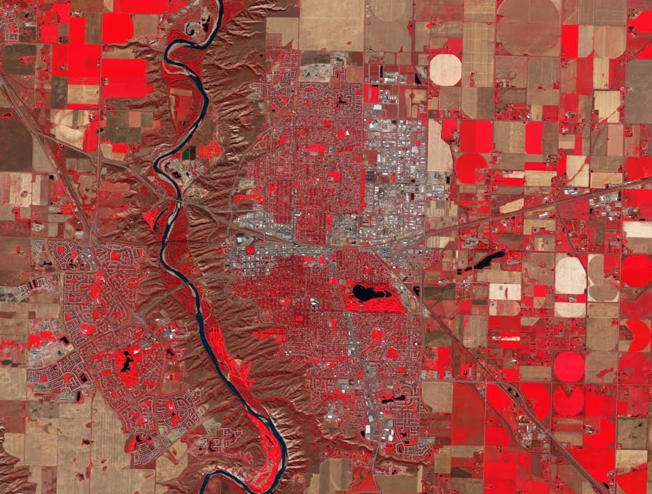
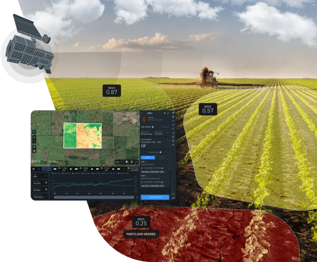
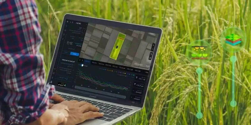
Involtor supports project member farmers through its own precision agriculture satellite solution
Using satellite technology from the first moments of the entity's enrollment in the project, by verifying the perimeter of farms, delimitation, collecting data related to agricultural management, climate observations, soil data, specific images and others, from April 2024.
INVOLTOR - CARBON AGRICULTURE
Comprehensive and integrated platform for analysis, modeling, mapping, resources
Project data management, data management, GIS location records and operations undertaken are managed with the help of software that we have adhered to after real-life testing in multiple projects around the world.
Involtor uses a cloud-based mapping and analytics solution using software for maps, data analytics, sharing, and collaboration.
Involtor represents a turning point represented by the avant-garde design and implementation of the most important project in regenerative agriculture in Eastern Europe, producing verified, certified, VCU carbon credits of the highest quality.
Wrapper
We use a computer simulation model of carbon and nitrogen biogeochemistry in the agro-ecosystem
Emissions as a result of agricultural practices and management as monitored, measured, using the most modern technologies, are simulated using software licensed by the world's most prestigious University with decades of development and refinement.
Platform for analysis
Comprehensive and integrated platform for analysis, modeling, mapping, resources
Project data management, data management, GIS location records and operations undertaken are managed with the help of software that we have adhered to after real-life testing in multiple projects around the world.
Involtor uses a cloud-based mapping and analytics solution using software for maps, data analytics, sharing, and collaboration.
In all phases of the project, Involtor uses the most advanced technology for design, monitoring, measurement and impact reporting.
Wrapper
 Involtor
The most important project in Eastern European agriculture for soil enrichment through carbon sequestration and the generation of verified and certified carbon credits (VCU).
- Unique Reg.: 46274683
- Romania, Ploiesti